Why the CBD streets run in a perfect grid
Reference library · 1100 words
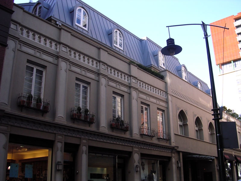

Melbourne's central business district is one of the most legible city centres anywhere. Ten streets run one way, nine run across them, and the whole arrangement sits inside a rectangle roughly 1.6 kilometres long and 800 metres deep, bounded by Flinders Street at the river, Spring Street at the eastern end, La Trobe Street along the top and Spencer Street at the west. Visitors usually assume the regularity expresses some founding vision of civic order. It expresses something duller and more useful: a set of colonial land regulations written in Sydney, a surveyor working quickly, and a governor who overruled him on one important point.
Before any of that, the ground belonged to people who had held it for a very long time. The land the grid covers is the country of the Wurundjeri Woi Wurrung. Boon Wurrung country begins to the south and east around the bay. Both peoples belong to the Kulin, a set of clans connected by related languages, marriage law and shared ceremony. The river the grid faces is the Birrarung. The reason a town appeared at this particular bend is a rock reef that crossed the river near where Queens Bridge now stands, holding back the tide and creating a pool of fresh water that seagoing ships could still reach. Fresh water and a working anchorage in the same place is why the site was chosen. The reef itself was later blasted out to improve navigation.
The settlement was unauthorised at first. In 1835 parties from Van Diemen's Land crossed Bass Strait and occupied the north bank. John Batman's so called treaty with Kulin men, in which he claimed to have bought hundreds of thousands of acres for blankets, knives and flour, was declared void by the Crown within months. It was void in colonial law because only the Crown could grant land, and there is no good reason to think the men who marked the document understood it as a permanent transfer of ownership. By the time surveyors arrived there was already a scatter of huts and tents to be regularised, so the plan was laid over an existing settlement rather than onto empty ground.
The regulations came first, the surveyor second
Governor Darling's town planning regulations of 1829 already prescribed how a New South Wales township should be laid out: rectangular blocks of ten chains square, which is about 200 metres a side, each divided into twenty half acre allotments, with main streets a chain and a half wide. A chain is 66 feet, so a chain and a half is 99 feet, or roughly 30 metres. Almost every distinctive dimension of central Melbourne is therefore an imperial surveying unit rather than an aesthetic choice.
The drawing was also not the work of one man, despite the name that stuck. In late 1836 Governor Bourke sent Robert Russell, Frederick D'Arcy and William Darke to map the bay and the river. Russell produced a careful topographical survey of the settlement instead, which irritated Bourke, who wanted allotments he could sell. When Bourke visited in early 1837 he replaced Russell with Robert Hoddle, and on 24 March 1837 Hoddle forwarded a proposed layout for the town. Hoddle worked over the ground Russell had already surveyed. The grid is properly a joint product, and the popular name flatters the second surveyor at the expense of the first.
The compromise that produced the little streets
Hoddle's plan had one feature the governor disliked. With blocks 200 metres deep and allotments running through them, there was no way to reach the back of a property except across a neighbour's land. Bourke demanded rear access lanes through the middle of every block. Hoddle resisted, arguing that inserting lanes would either shrink the allotments or force the streets narrower. The compromise was that the lanes went in, the main streets kept their full width, and the allotments got smaller. That is the origin of Little Collins Street, Little Bourke Street, Little Lonsdale Street and Flinders Lane, half chain reservations of about ten metres. The little streets were named in 1839; La Trobe Street came from an extension of the plan in 1838.
So the celebrated fine grain of the city centre, the thing that makes the CBD walkable at a human scale, was not a gift of design. It was an argument about rear access to warehouses and stables, won by a governor over a surveyor's objection. Through most of the nineteenth century the little streets and the narrower lanes behind them were used for deliveries, for workshops and factory overflow, for night soil collection and for dumping rubbish. By the mid 1850s central Melbourne had around 80 named lanes and 112 rights of way, many of them privately owned.
Not quite perfect, and not quite north
The grid is not square with the compass either. It sits at roughly seventy degrees to true north because Hoddle aligned the long streets parallel to the river rather than to the meridian. There is a consequence people notice without naming it: for much of the year one set of streets catches long raking light late in the day while the cross streets sit in shadow. It also means north, south, east and west are only approximations in the city centre, which is part of why Melburnians give directions by street name rather than by compass point.
Nor is the rectangle uniform. Market Street was folded into the plan, Queen Street was given extra width to serve the markets, and a'Beckett Street and Jeffcott Street began as lanes that Hoddle later widened into full streets. By the 1850s he had dropped the distinction between grand streets and lesser ones altogether in the new surveys, making every street in Carlton and North Melbourne a chain and a half wide and reducing the standard allotment to a quarter acre, a figure that shaped Australian suburban subdivision for the next hundred years.
The grid then escaped its rectangle. From 1852 the gold rush forced rapid surveys of Carlton, North Melbourne, South Melbourne and St Kilda, and by 1858 something like 600 square kilometres of Melbourne had been cut into rectangular streets, whether or not the ground underneath was flat. Hoddle and Charles La Trobe also reserved large blocks of Crown land as they went, which is why Royal Park, Princes Park, Fawkner Park, Yarra Park and the Royal Botanic Gardens exist at all. The grid gave Melbourne its clarity and the reservations gave it its parks, and both came from the same brisk colonial impulse to draw lines across other people's country before anyone could object.
References
- eMelbourne, The Encyclopedia of Melbourne OnlineGrid Plan
- eMelbourne, The Encyclopedia of Melbourne OnlineSurveying
- eMelbourne, The Encyclopedia of Melbourne OnlineStreets and Lanes
- eMelbourne, The Encyclopedia of Melbourne OnlineKulin
- WikipediaHoddle Grid
This is a reference article, written from the sources above. It is background, not news reporting.